The Volcanoes Route - La Palma
La Palma, España
📍
🚗P
💸
🏃⏳
🗽
📞
🌟
The Volcanoes Route
Parking (Free)
Free
5-7 hours ( 18.6-22km) (one way)
4/10 (Not busy)
–
9.25/10
Table of content
1. Introduction
2. Sections of the hike
2.1. Section 1 - Climb through a pine forest (4-5 km)
2.2. Section 2 - Ups and downs over volcanic terrain and the start of the descent (6-7 km):
2.3. Section 3 - Descent through a pine forest (5 km):
3. How to pick up your abandoned car
4. Advice
Introduction
The Volcanoes Route is a spectacular hike through the Cumbre Vieja Natural Park where you’ll pass through various ecosystems and alongside volcanic craters. It’s one of the gems of La Palma that you simply can’t miss!
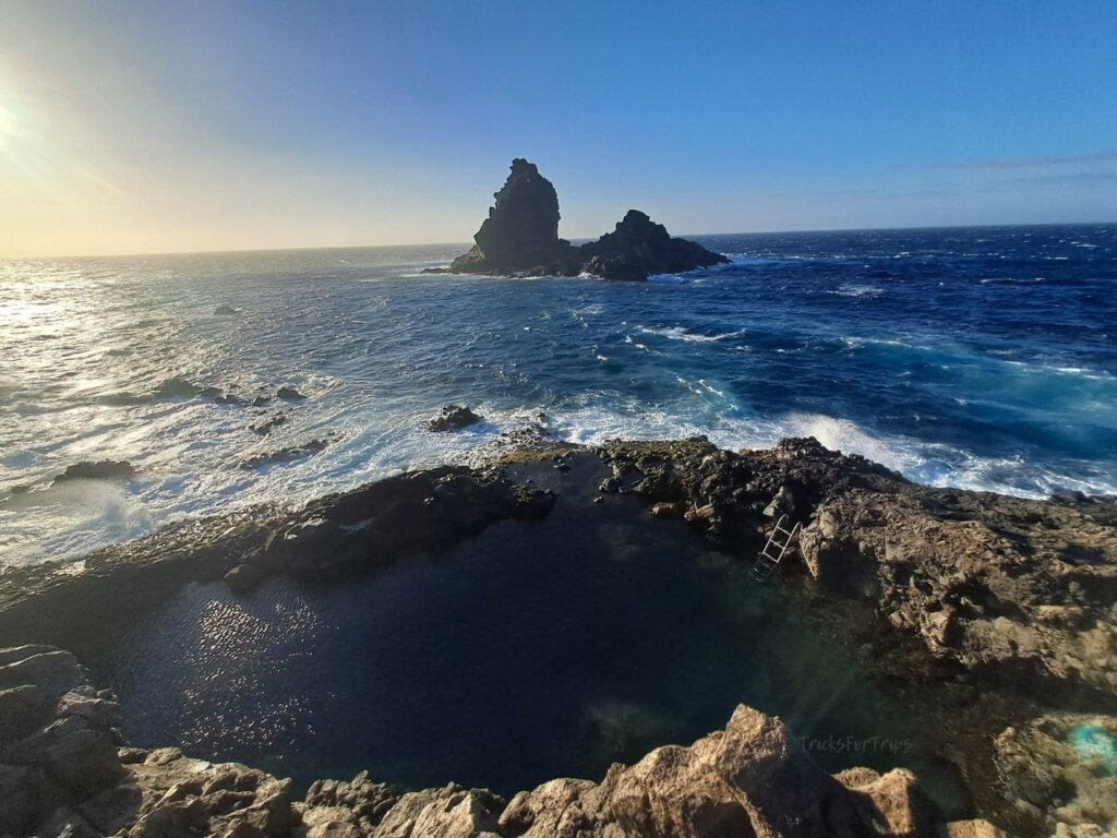
This is a linear route, and the most common way to do it is from the Refugio del Pilar to Los Canarios in Fuencaliente (18.6 km, about 5 hours). However, many decide to continue all the way to the Fuencaliente Lighthouse (22 km, about 6.5 hours) and enjoy a swim at the beach. The trail is marked as GR 131. Unless you are someone with a strong passion for hiking and excellent physical endurance, it is not recommended to do it in reverse, as the elevation gain is quite significant.
The Refugio del Pilar is located here (location) and is the ideal spot to park the car and begin the hike. We recommend starting early in the morning, as once you’re at the summit, you’ll have no protection from the sun and will need to walk for several hours through completely barren terrain. Below, we’ll explain how to get back to retrieve your parked car.
Sections of the hike
No guide is required, as the trail is very well-marked. From the refuge to Los Canarios, you’ll experience a positive elevation gain of 750 meters (uphill) and a negative elevation loss of 1,500 meters (downhill).
In several parts of the hike , the ground consists of sand and volcanic ash. This makes walking a bit more challenging as it will constantly get into your shoes and socks.
On the hike, you can distinguish three stages:
Section 1 - Climb through a pine forest (4-5 km).
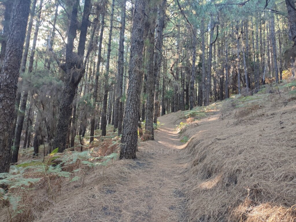
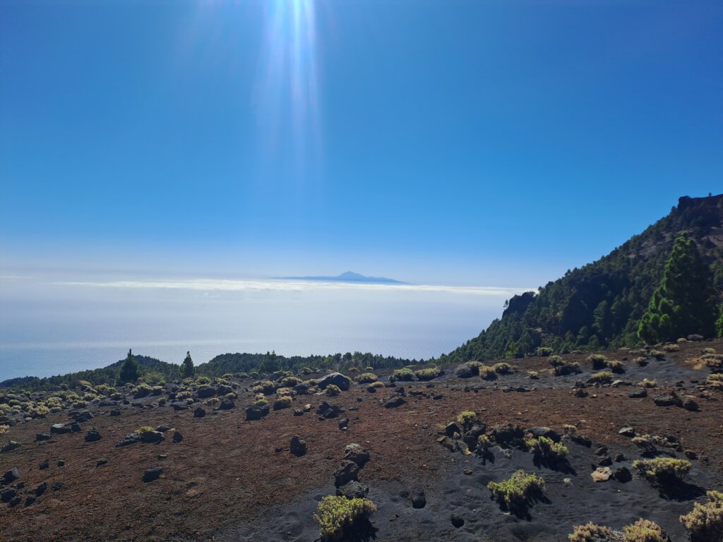
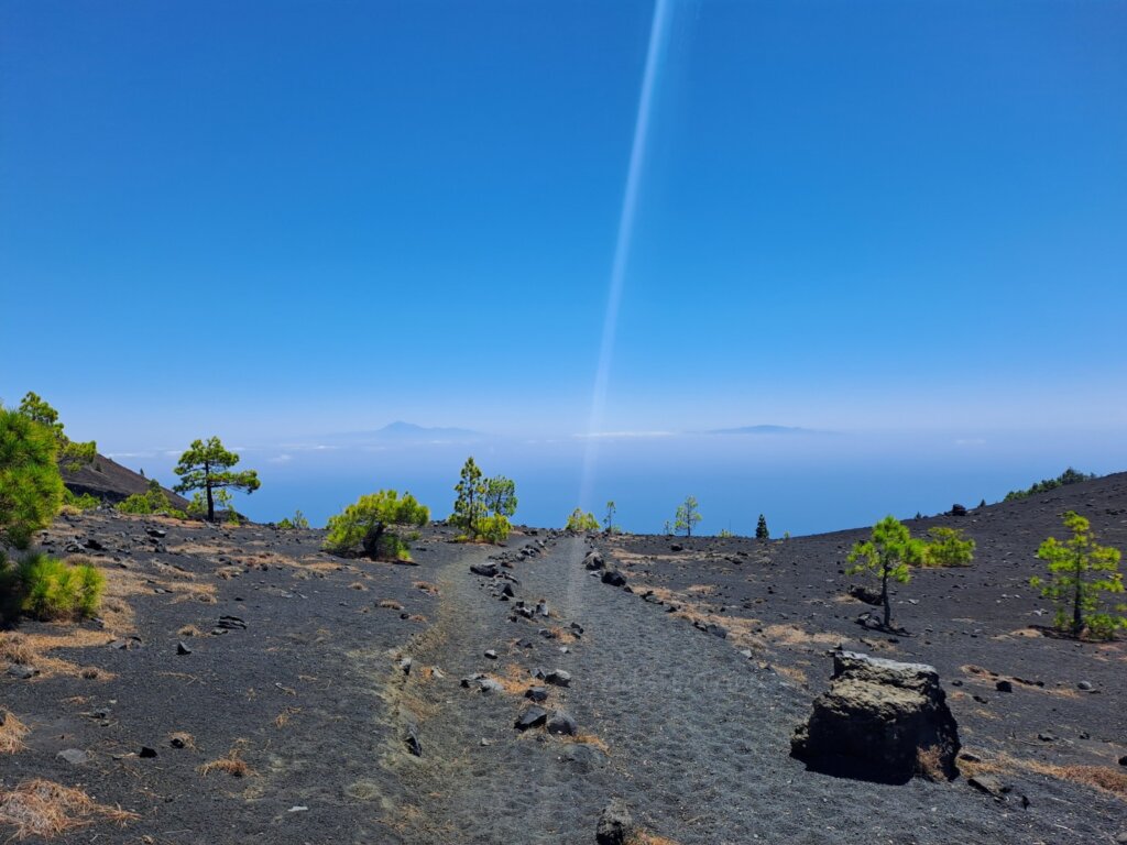
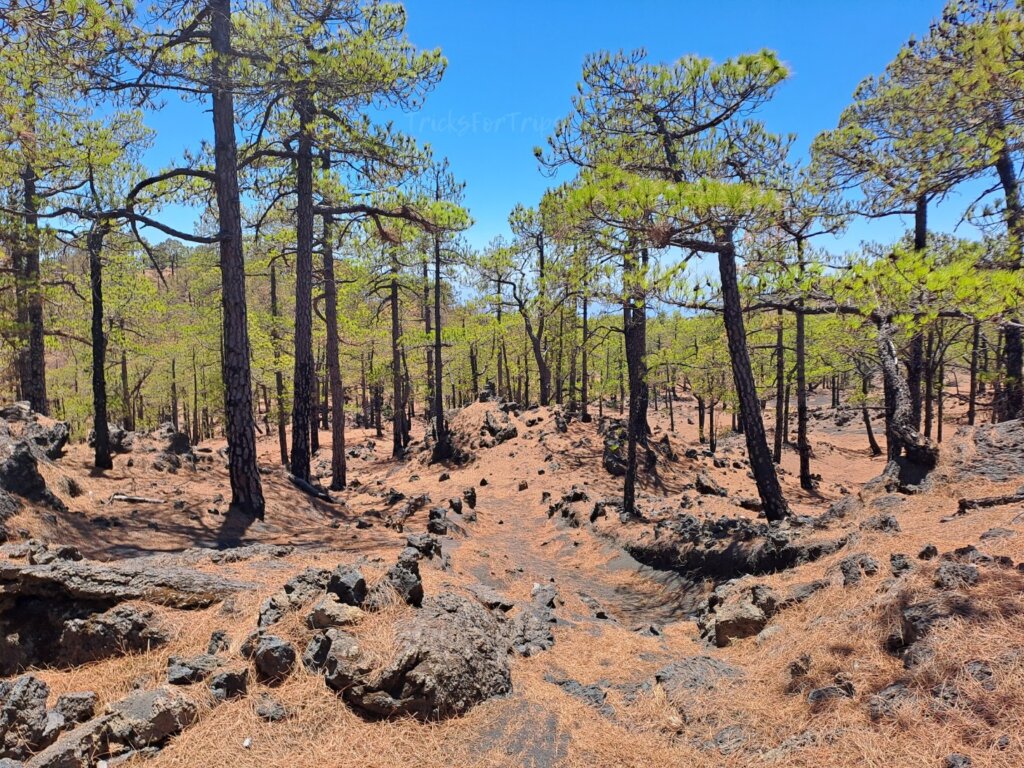
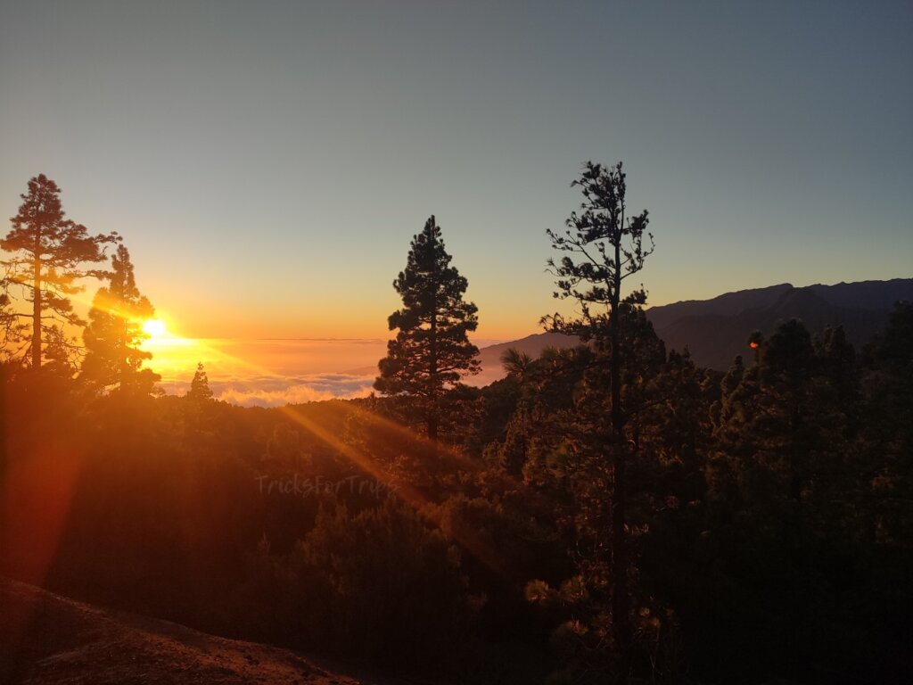
You will start at 1,445 meters above sea level. The first 4-5 km are entirely uphill until you reach the Birigoyo viewpoint, at an altitude of 1,800 meters. This first stage is under the shade through a pine forest that skirts the Birigoyo peak, so despite the incline and being one of the toughest parts, it’s relatively manageable. Along the way, you’ll have views of the Aridane Valley, and at times, you might witness a spectacular cloud waterfall cascading down the mountain slopes. Once you leave the pine forest behind, you’ll reach an open area, where you might have views of La Gomera and Tenerife on a sunny day with low-lying clouds.
Section 2:Ups and downs over volcanic terrain and the start of the descent (6-7 km):
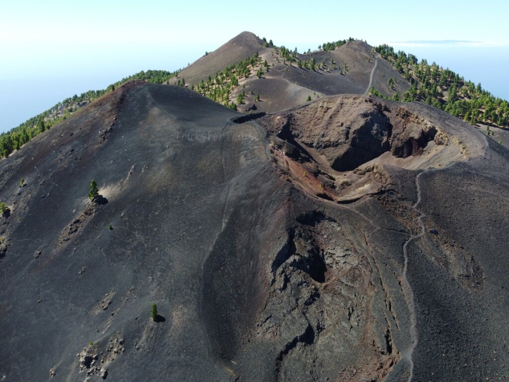
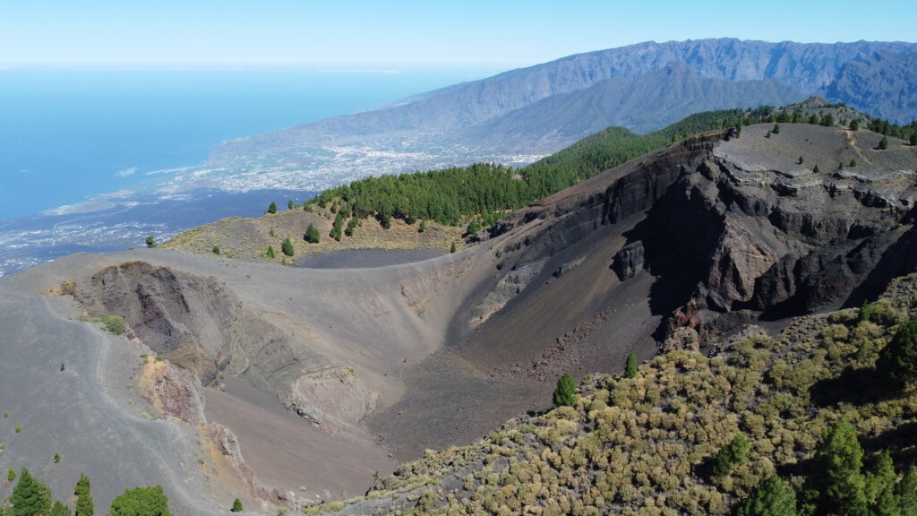
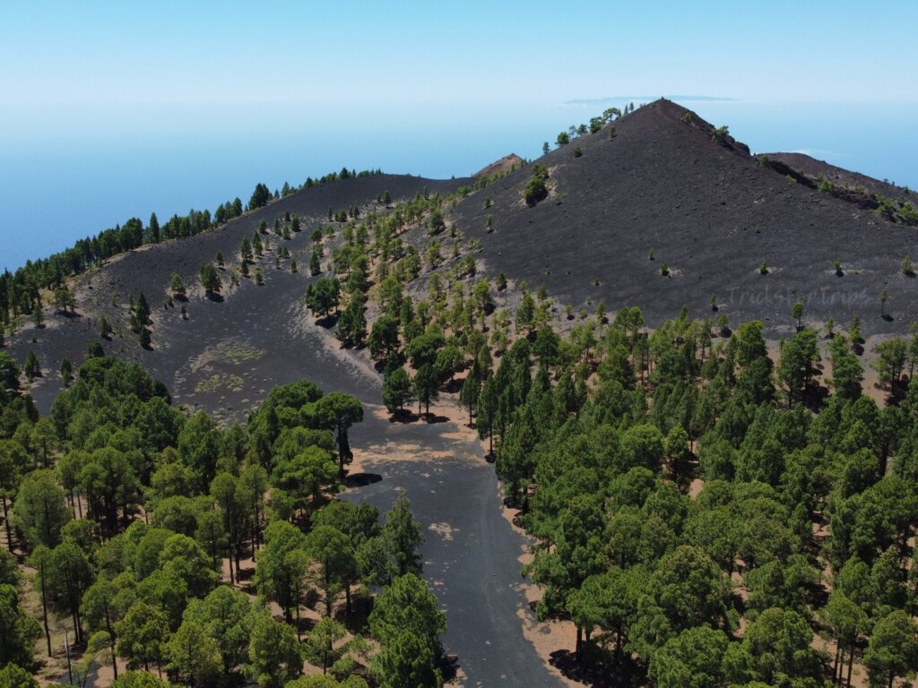
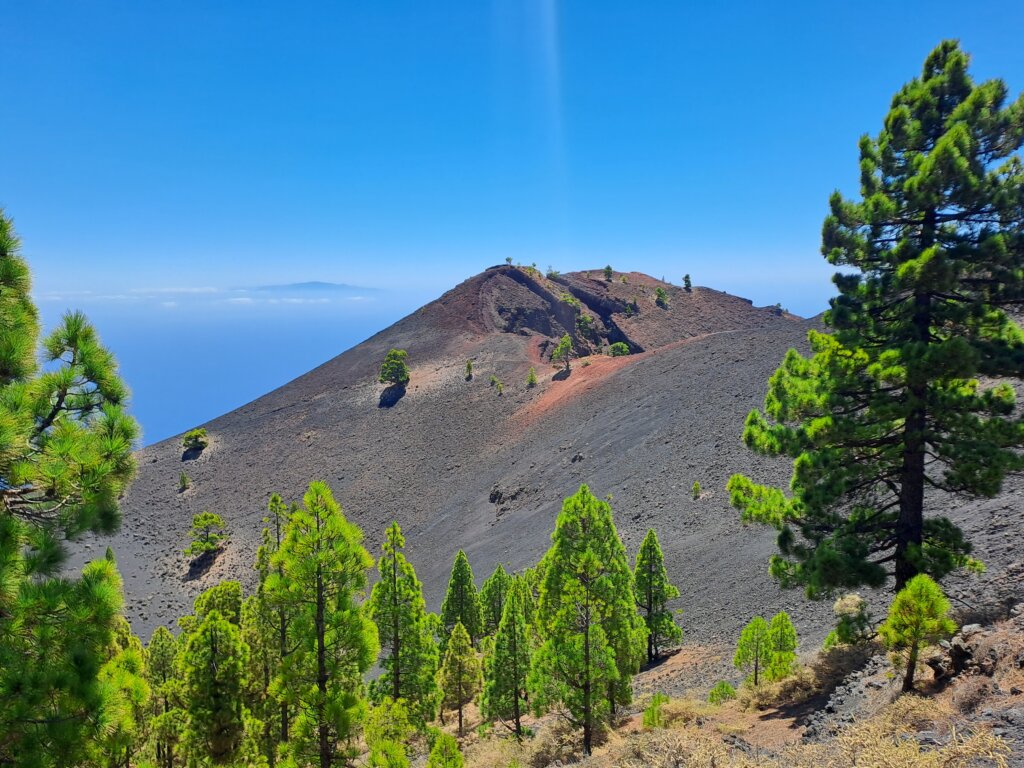
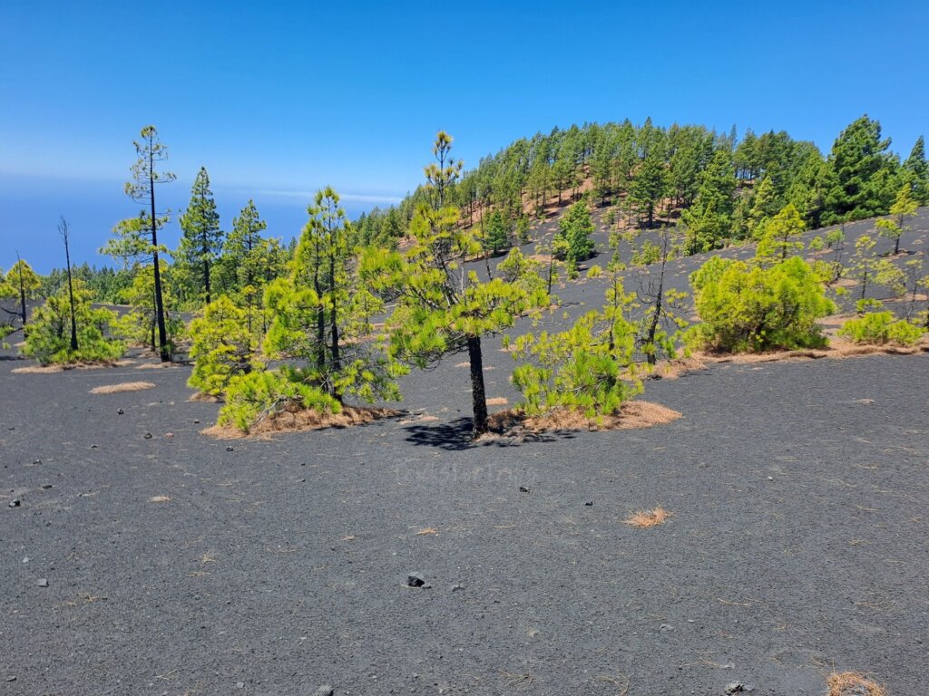
From this point the landscape changes completely. You’ll be surrounded by volcanic cones and vents, with significantly reduced vegetation. You’ll still face some uphill climbs and small descents until you reach the highest point, 1,932 meters. Noteworthy is a somewhat steep ascent over volcanic sand and ash, which, under the sun, can be a bit more challenging. Nonetheless, these 6-7 km are the most incredible part of the hike. It will feel like you’re on another planet, especially as you progress and take in the varying landscapes and volcanic cones:
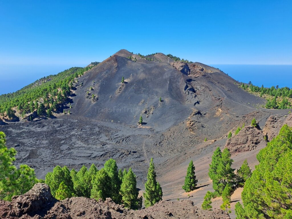
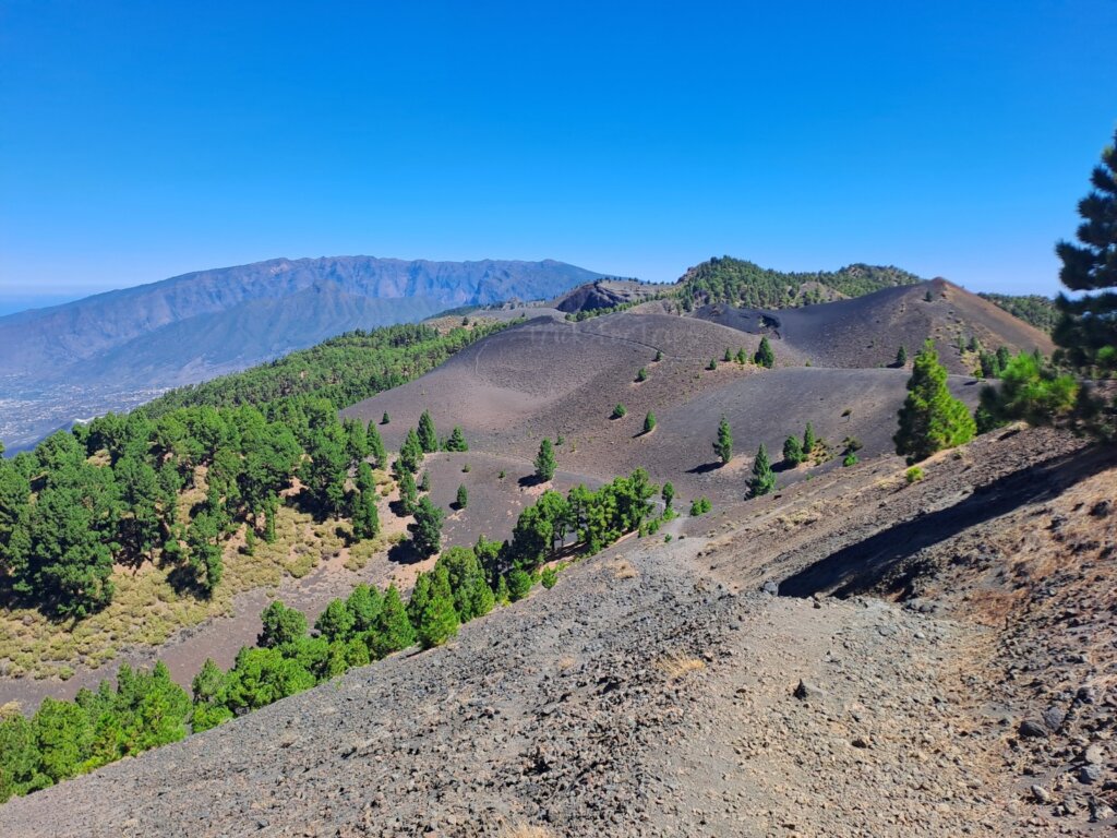
- Hoyo Negro: This was the main emission center during the 1949 eruption.
- El Duraznero: Also originating from the 1949 eruption, at an altitude of 1,900 meters. Unlike Hoyo Negro, its eruption was explosive. It is one of the most iconic cones along the trail.
- Las deseadas: The highest volcano in the park and the highest point of the route at 1,949 meters. On clear days, you can see all three islands from here: La Gomera, Tenerife, and El Hierro.
- Martín de Tigalate volcano (1,500m, eruption in 1646): This volcano is distinguished by its striking red tones, contrasting with the green pine forests and black volcanic ash.
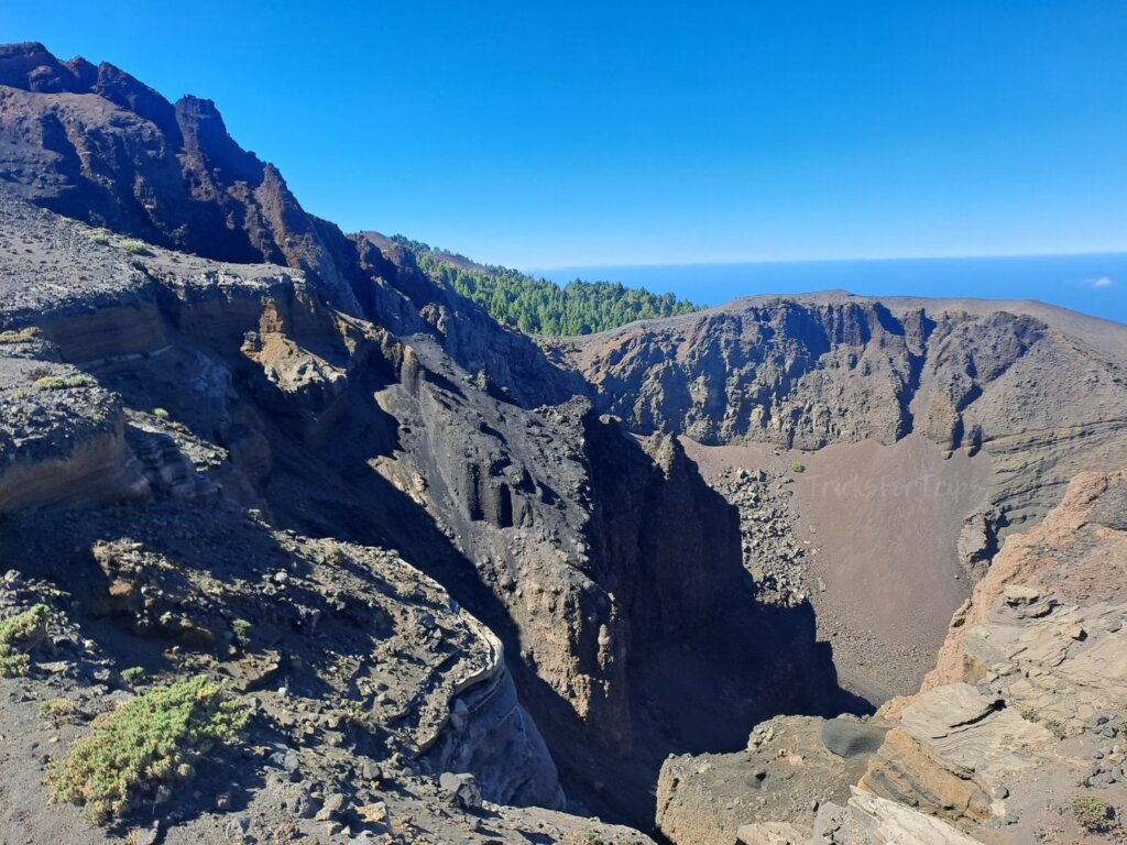
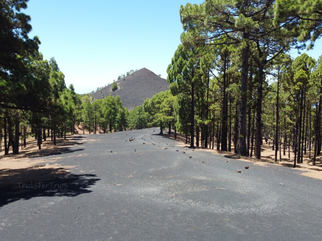
The downside of this section is that you’ll be completely exposed to the sun . From here, the trail descends through completely black (and annoying) volcanic sand passing several plains such as Llano de las Brujas or Llano de los Guanches. As you descend you’ll leave the craters and volcanic cones behind and re-enter a kind of pine forest.
Section 3: Descent through a pine forest (5 km):
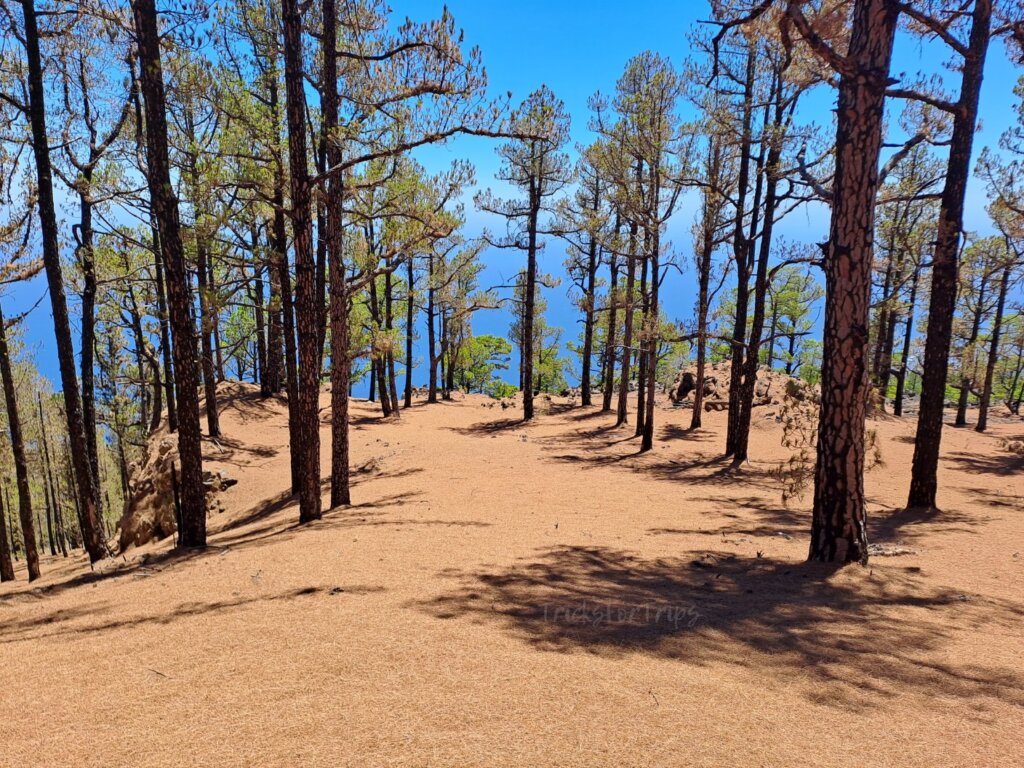
The final 5 km take you downhill through a pine forest, which once again provides some shadeAlthough the most spectacular scenery is in the previous section, this part also offers some pretty incredible landscapes. Eventually, you’ll reach the town of Los Canarios (720 meters above sea level), where you can rest at a bar with a drink or continue all the way to the lighthouse. If you choose to continue, you’ll keep descending, passing other volcanic peaks such as San Antonio Volcano or Teneguía Volcano, and finally arrive at the Fuencaliente Lighthouse (0 meters above sea level).
How to pick up your abandoned car
The main issue with this hike is getting back to the refuge. There are no buses that take you directly to the refuge. The most common option is to take a taxi from Los Canarios, which has a fixed rate to the refuge of around 45€. Another option is to take a bus to El Paso and then grab a taxi from there to the refuge. This will be slightly cheaper.
Most people doing this hike will face the same problem as you. Along the trail, you’ll overtake slower hikers, and faster ones will overtake you. Ask if they’re heading back to the refuge—maybe you can share a taxi, making the cost of the ride much more affordable.
The taxi stop is located directly on the LP-2 (here). If you’d like the contact information for a taxi driver who regularly makes this trip, let us know in the comments.
NOTE: You can also leave your car in Los Canarios and take a taxi to the refuge at the start, so your car will be waiting for you at the end of the hike.
Advice
- Hiking shoes and high socks
- Take enough water and some snacks. Along the way there will be a couple of water points.
- Sunscreen.
- This is not a route for everyone. You need to have a minimum level of physical fitness to complete it; otherwise, it might feel quite strenuous.
- Many people spend the night at the Refugio del Pilar to start the hike early in the morning. If you’re interested in camping, you’ll need to email the Environmental Department of the Cabildo of La Palma and fill out a form ([email protected]).
It’s one of the best hikes you can do in Spain, a place of incredible natural beauty.
Comment if you have any question!
I want to come on September 25 to walk the gr131, including the volcano route. Ruts los volcanes –
Is the route open to the public!? For hikers? Is October a good time? Snow?
Hello Moshe!
The route is normally open unless adverse weather conditions (very strong winds or heavy rains, which hardly ever happens. It rarely snows in December/January). However, we recommend you to check the weather forecast in advance just in case, as well as this website where you can check if the trails are open: https://www.senderosdelapalma.es/en/footpaths/situation-of-the-footpaths/
So… October is definitely a a very good time!